
Cape Verde Islands
280x280mm
Preliminary study for larger scale. Atlantic series sail painting.

Course Made Good
190x240mm
Following on from the previous painting I experimented using flowing paint to resonate the falling wave pattern of the sea contrasting with the sharp, exact markings used in chart-work.

Course Track & Stream
145x190mm
Another step in playing with the composition and balance of paint and marks.

Cross Tracks
140x190mm
Further exploration of freer flow of paint and the contrasting sharpness of line.

Tidal Stream 114 degrees
120x200mm
Chart images mixed with paintflow and navigation markings.

Whitsand Bay Tacking Point.
250x350mm
Whenever sailing to the west from Plymouth the mariner inevitably encounters a s'westerly wind causing the vessel to first head in a southerly direction before going about in the hope of clearing Rame Head and making way into Whitsand Bay. Trying to minimize the effects of an adverse tide there comes a point where the sailor has to tack out to open water again or risk running aground or worse!

Whitsand Lat/Long
205x205mm
A position off Tregantle Fort where the depth markings are becoming critical.

Whitsand Position Fix
140x210mm
Paint rolling freely and this is where we are!

Whitsand Position Fix 2
200x200mm
If you can see the sand on the beach. Double check the Lat/Long position and tack away quickly!

Whitsand Bay Estimated Position
270x390mm
When estimating position there is a clear need to closely examine the chart for depth contours and settings of submerged obstacles.
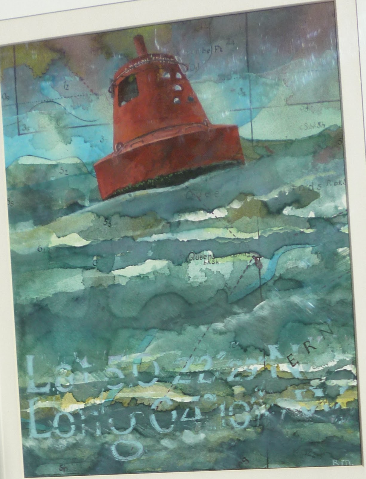
Queens Ground
260x350mm
When there has been a strong s'westerly blowing for a few days the swell outside Plymouth breakwater builds up especially off Fort Picklecombe.

Palette Island
200x290mm
Over a period of time the paint builds up fresh layers of substance and new contours are defined which all have to be charted.
No comments:
Post a Comment